At the Permafrost Thaw Frontline: How Hand-Auger Drilling Studies a Climate Disaster

Climate research relies not only on satellites and models but also on field drilling of permafrost samples to obtain ground truth.
Using the permafrost drilling site in Denali National Park, Alaska, as an entry point, the article reveals the physical labor and field operations behind climate research. Although remote sensing satellites can monitor surface temperature and large-scale permafrost degradation, they cannot provide key parameters such as soil ice content and organic matter composition; field drilling and sampling are the indispensable 'ground truth' for validating satellite inversion models. Permafrost thaw releases greenhouse gases and creates a positive feedback loop, one of the largest uncertainties in climate models. Field research faces challenges such as low temperatures, mud, and equipment failures, which limit sample coverage, but the thaw rate data obtained can directly serve climate prediction improvements and local infrastructure risk assessment. The article calls for valuing the 'muddy boots' spirit in climate science.
When Climate Research Becomes a Muddy Field Operation
In Denali National Park, Alaska, graduate student Andrew Haverdink, wearing rain pants and rubber boots, pulls a two-person hand auger out of the permafrost and detaches the hollow tube at the end of the drill bit. He kneels before a blue tarp and aligns the tube... This scene comes from an on-site report on climate research, revealing a frequently overlooked fact: climate change research is not just satellite data and computer models—it is also field work that demands physical effort, patience, and mud.
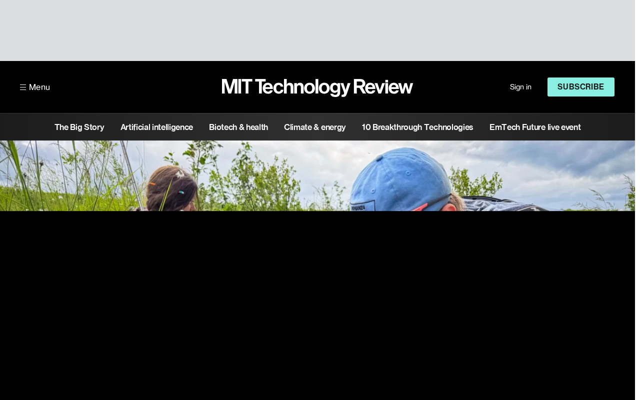
The permafrost in Denali National Park is a key component of the Northern Hemisphere climate system. When permafrost thaws, the organic carbon stored within it is released as carbon dioxide or methane, creating a positive feedback loop. To understand this process, researchers must personally dig into the mud and extract ice-core-like soil samples—exactly the work Haverdink is doing.
Why Permafrost Research Requires "Digging It Yourself"
Data Precision and On-Site Judgment
Remote sensing satellites can monitor surface temperature changes and large-scale permafrost degradation, but they cannot provide key parameters such as soil ice content and organic matter composition. Only through field drilling and sampling can laboratories analyze permafrost carbon stocks and thaw rates. Haverdink's operation—extracting permafrost cores with a hand auger—is the foundational step for obtaining this data.
This research approach is costly and inefficient, yet it is an indispensable "ground truth" for validating satellite data inversion models. Without field samples, any permafrost thaw prediction lacks credibility.
The "Slow Variable" Nature of Climate Disasters
Unlike sudden climate disasters such as floods and hurricanes, permafrost thaw is a slow and continuous process. It does not immediately cause casualties, but it alters landscapes, releases greenhouse gases, and damages infrastructure (such as roads and pipelines in Alaska) decade after decade. Researchers need to track permafrost changes in the same area over the long term to capture trends. Field work like Haverdink's constitutes individual nodes in a long-term monitoring network.
Ground truth is a core concept in remote sensing and modeling, referring to reference data obtained through field measurements used to calibrate and validate remote sensing inversion results or model predictions. Satellite sensors record surface radiance, which must be converted into physical quantities such as temperature, humidity, and permafrost extent via inversion algorithms—a process that relies on large numbers of field samples as the "standard answers." In permafrost research, ground truth includes soil temperature profiles measured in boreholes, ice content, active layer thickness, and more. Without ground truth, inversion models may produce systematic biases, and errors are difficult to quantify. Therefore, despite the high cost of field drilling, it remains an irreplaceable step for ensuring the credibility of permafrost data.
Positive feedback loop refers to a process in which a change in a system triggers a chain reaction that in turn amplifies that change. In permafrost climate feedback, warming causes permafrost thaw, and microorganisms decompose the organic carbon stored within it, releasing carbon dioxide and methane; these two greenhouse gases enhance the greenhouse effect, further driving warming and thus thawing more permafrost. It is estimated that the amount of carbon stored in Northern Hemisphere permafrost regions is roughly twice the amount of carbon in the atmosphere, so the strength of this feedback directly relates to future warming magnitudes. Climate models must accurately characterize the rate and form of permafrost carbon release (carbon dioxide or methane), and this remains one of the largest sources of uncertainty.
Challenges of Field Research: More Than Just Physical Labor
Working in remote areas like Denali, researchers must cope with low temperatures, mud, equipment failures, and wildlife risks. Haverdink's gear—rain pants and rubber boots—illustrates the wet and cold working environment. In addition, drilling equipment must be portable and reliable, because once it fails in the field, repair costs are extremely high.
These practical constraints mean that sample sizes and coverage in permafrost research are often limited. Researchers must make cautious inferences from limited data points while continuously improving sampling technology (such as lighter augers and automated sensors) to expand monitoring coverage.
From Field to Policy: The Real-World Significance of Permafrost Research
The carbon released by permafrost thaw could significantly accelerate global warming, and this feedback mechanism is one of the largest uncertainties in climate models. The work of Haverdink and others ultimately serves two goals: first, improving the accuracy of climate predictions; second, providing local governments with scientific basis for infrastructure planning and carbon emissions management.
In Alaska and other places, ground subsidence and building damage caused by permafrost thaw have already appeared. Thaw rate data obtained from field research can directly help engineers assess safety risks for pipelines, roads, and communities. From this perspective, a hand auger connects the global climate system with local livelihoods.
Active layer is the soil layer in permafrost regions that thaws each summer and refreezes in winter; its thickness is a key indicator for monitoring permafrost change. A deepening active layer means more underground ice is exposed to thaw conditions, and it also alters surface hydrology and vegetation. Researchers measure active layer thickness, ground temperature profiles, and soil moisture content through boreholes, and these parameters are used to validate land surface models and satellite inversion products. Active layer monitoring networks (such as CALM) have established hundreds of observation sites across global permafrost regions, but stations in remote areas of Alaska remain sparse—precisely where the value of Haverdink-style field work lies.
Conclusion: Climate Science Needs the "Muddy Boots" Spirit
The image of Haverdink kneeling before a blue tarp aligning drill tubes is the most authentic side of climate research. Satellites and models are important, but without the people drilling holes in permafrost, our understanding of climate disasters would remain superficial. Next time you see news about permafrost thaw, take a moment to think of those researchers in rubber boots twisting drill rods in the mud—they are laying the most fundamental foundation for climate prediction.
Related articles

A Single Prompt Triggers a Global PHP Security Storm: Is AI a Savior or a Hidden Risk?
A single AI prompt triggered a global PHP security crisis affecting Wikipedia and the Internet Archive. This article reviews the incident, analyzes the OpenAI-Amazon controversy, and explores the security paradox of lowered vulnerability discovery barriers in the AI era and developer response strategies.

When AI Is Taken Away: How Reliance on Shortcuts Undermines Your Problem-Solving Resilience
A study of 1,222 people found that after using AI to answer questions, once AI was removed, people gave up on more problems than a control group that never used AI. The article analyzes the impact of AI reliance on learning resilience and metacognition, and explores design implications for AI learning tools.

Carta and NewView Partner to Let Startup Employees Cash Out Equity Early
Carta and NewView Capital partner to simplify startup tender offers, helping employees sell equity early. Analysis of the mechanism, liquidity pain points, and impact.