ATLAS: The GeoGuessr AI That Can Guess Any Location — 81% Accuracy Tested

A solo developer built ATLAS, an AI that guesses global locations from images with 81% country accuracy.
ATLAS is a Windows app built by one developer that identifies global photo locations using only visual cues — no EXIF metadata. It achieves 81% country-level accuracy across 111 countries, responds in ~3 seconds, and averages 4,000 points in GeoGuessr. The project also offers valuable product insights: speed beats marginal accuracy gains, and a clean UI builds more trust than any feature list.
One Developer's Solo Project: From Image to Global Location
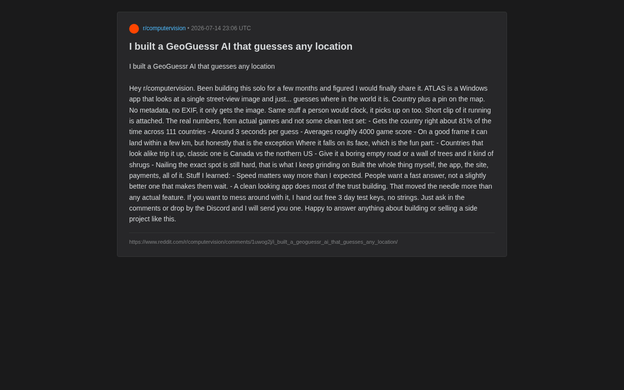
Recently, a developer shared a project he spent months building on Reddit's r/computervision community — ATLAS. It's a Windows application with an ambitious premise: given a single street-view image, it can infer where in the world the photo was taken, identify the country, and pinpoint coordinates on a map.
The critical detail: it uses no metadata whatsoever. EXIF (Exchangeable Image File Format) is the metadata standard that digital cameras and smartphones automatically embed in image files — recording capture time, camera settings, and most importantly, GPS coordinates. Many so-called "image geolocation tools" are essentially just parsing the GPS field from EXIF data, with no actual understanding of the image content. ATLAS explicitly claims to use zero metadata, which means it must extract geographic information at the pixel level — a fundamentally different technical challenge. One approach is data retrieval; the other is genuine visual understanding.
In other words, it captures the same visual cues that human GeoGuessr players rely on — road sign languages, vegetation types, lane markings, architectural styles, sky tones, and more. GeoGuessr, launched in 2013, is a geography guessing game built on random Google Street View imagery. Expert players have developed remarkably fine-grained visual heuristics: yellow school buses in North America, torii gates and kanji road signs in Japan, the shape of insulator caps on utility poles in Eastern Europe, red dirt roads in Australia. This knowledge system is essentially an embodied form of multimodal geographic expertise. Formalizing this kind of implicit human knowledge into computable features is the core engineering challenge facing visual geolocation systems like ATLAS.
Real-World Performance
To the developer's credit, he didn't dress up his results with a clean test set. Instead, he shared performance data from actual gameplay:
- ~81% country-level accuracy across 111 countries
- ~3 seconds per inference
- Average game score of ~4,000 points
- On ideal frames, error can shrink to within a few kilometers — though the author admits this is the exception, not the rule
In GeoGuessr, the maximum score is 5,000 points. A score of 4,000 implies an average error in the range of tens to hundreds of kilometers — a solid mid-to-high performance level. An 81% country-level accuracy rate is equally impressive. With 111 countries in scope, a random guess would yield less than 1% accuracy. Consistently hitting 80% means the model has genuinely learned cross-regional visual discrimination. A 3-second response time also gives it practical value as a real-time companion during live matches.
Where the Model Falls Short
The author candidly lists the scenarios where the model tends to fail — and this is arguably the most valuable part of the writeup.
Confusion Between Similar Regions
The classic case is distinguishing Canada from the northern United States. In academic terms, this is a "near-neighbor ambiguity" challenge in fine-grained visual recognition — both regions share similar temperate climates, North American vegetation zones, English signage systems, and North American architectural styles. The discriminating cues that human players rely on are extremely subtle: bilingual French-English stop signs in Canada, slightly different fire hydrant designs, distinct provincial highway marker shapes. For a neural network, these fine-grained features require high-resolution local feature extraction, and the signal-to-noise ratio between the two classes in training data is extremely low. This is a structural reason why accuracy ceilings are hard to break through, even when overall accuracy reaches 81%.
Information-Sparse Frames
When a frame contains nothing but an empty road or a dense forest, the model struggles due to a lack of discriminative features. This exposes a fundamental limitation of visual geolocation systems: inference quality is directly tied to how many exploitable geographic cues are present in the image.
Precise Coordinate Localization Remains Difficult
Country identification is relatively manageable, but pinpointing coordinates to within a few kilometers is still a major challenge — and an area the author is actively refining. Country-level recognition can rely on macro features, but street-level localization requires the model to memorize a vast amount of local detail, making the difficulty increase exponentially.
Product Insights Beyond the Algorithm
Beyond the technical implementation, the author shared two product lessons that are equally worth reflecting on.
Speed Matters More Than Accuracy
He put it plainly: "Speed is so much more important than I expected. People want a fast answer, not one that makes them wait for something only marginally better." This aligns closely with classic human-computer interaction research. Jakob Nielsen's 1993 response time guidelines established three thresholds: users notice a delay after 1 second, and attention starts to drift beyond 10 seconds. More critically, for game-assistance tools, latency directly disrupts a player's "flow" state — that sense of high-focus, competitive immersion. Compressing inference to 3 seconds required systematic engineering trade-offs across model architecture, batching strategies, and hardware acceleration. That judgment call is itself a product decision. In many AI products, engineers obsess over squeezing out another percentage point of accuracy while underestimating the impact of response latency on user experience — for interactive applications, 3 seconds and 8 seconds are entirely different experiences.
A Clean Interface Does Most of the Trust-Building
The author also noted: "A clean-looking app does most of the trust-building work — more than any actual feature does." This cuts to the heart of a common mistake among independent developers — over-investing in feature stacking while underestimating the value of visual design and first impressions. A polished, professional interface builds user confidence before they've even tried the core functionality, making them far more willing to pay and explore.
A Complete Solo Development Loop
From a technical standpoint, ATLAS is an applied implementation of Image Geolocation — a research area at the intersection of computer vision and geographic information systems. Its history dates back to Im2GPS in 2008, which used image retrieval to match query photos against a geo-tagged image database. Google's PlaNet in 2016 reframed it as a classification problem, dividing the globe into tens of thousands of geographic cells and using a convolutional neural network to predict probability distributions directly — becoming the first system to surpass average human performance at scale. More recently, visual-language models like CLIP have pushed geolocation accuracy further — these models, pre-trained on massive internet image-text pairs, naturally accumulate rich geographic visual features that provide a strong foundation for downstream localization tasks.
What makes this developer particularly impressive is that he completed the entire pipeline solo — from model training and app development to building a website and integrating a payment system — turning a research problem into a commercially viable product.
The author currently offers free 3-day trial keys, available by request in the comments or on Discord. He's also expressed willingness to share his experience building and selling this kind of independent project.
Takeaways
ATLAS is a textbook example of a "small but beautiful" independent project. It validates the technical feasibility of pure-vision geographic localization — 81% country accuracy and 3-second inference are more than enough to make a compelling and useful tool. Its product lessons may carry even broader relevance: for user-facing AI applications, speed and first impressions often matter more than a few extra percentage points of accuracy. For developers looking to turn technical skills into real products, this is a rare and genuinely honest account of the full journey.
Related articles

Felix Rieseberg Personal Homepage
Felix Rieseberg's personal homepage sparks attention on Hacker News. This article covers the Slack engineer's technical background, the rise and fall of nativefier, and the value of a developer homepage as a tech calling card.

@ai-sdk/vue 3.0.306 Patch Release Syncs with [email protected] Update
@ai-sdk/vue 3.0.306 released, synced with [email protected]. A routine patch release for the Vercel AI SDK ecosystem with no public API changes; the Vue adapter layer stays version-aligned with the core package.

Gemini 4 Argon API Launches: The Era of Million-Token Output Begins
Google launches Gemini 4 Argon with sparse MoE architecture, up to 1M output tokens, and a 68.90% Vals Index score, available across API, AI Studio, and the Gemini app.