Cartopolis: A Quick Look at an Interactive Globe-Scale 3D World Project

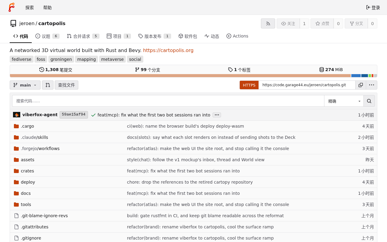
Cartopolis is an early-stage Show HN project exploring interactive globe-scale 3D worlds in the browser.
Cartopolis is a project submitted by an indie developer to Hacker News Show HN, positioning itself as an interactive globe-scale 3D world. Such projects face three core technical challenges: floating-point precision loss at Earth-scale coordinates, dynamic hierarchical loading of massive global geographic data, and maintaining smooth interactive frame rates in a browser environment. Potential applications span geographic education, global data visualization, game sandboxes, and digital twins. Currently in very early stages with only 5 upvotes and no comments, its tech stack and open-source status remain unclear.
What Is Cartopolis
Cartopolis is a developer project that recently appeared on the Show HN section of Hacker News, positioning itself as an interactive globe-sized 3D world. Based on the project name and brief description, it aims to render a three-dimensional visualization space covering the entire planet — either in a browser or application environment — where users can freely navigate and explore.
Projects of this kind typically involve geographic data rendering, large-scale scene level-of-detail (LOD) loading, and the combined use of graphics technologies such as WebGL/WebGPU. Since the original source provides only headline-level information, this article will explore the technical landscape and significance of "globe-scale 3D visualization" projects more broadly, helping readers understand the problem space Cartopolis is tackling.
What Does a "Globe-Sized 3D World" Actually Mean
The phrase "globe-sized" is key to understanding this project. The central challenge of rendering a planet-scale 3D world lies in the tension between precision and scale — you need to let users view the entire planet from a space perspective, while maintaining detail and numerical accuracy when zooming down to street level.
Technical Challenges
Applications of this type typically need to address several common problems:
- Floating-point precision: Single-precision floats exhibit noticeable jitter at Earth-scale coordinates, typically requiring relative coordinate systems or double-precision tiling approaches.
- Hierarchical data loading: It's impossible to load global data all at once — tiles and geometry must be dynamically requested based on viewing distance.
- Interaction smoothness: Maintaining a stable frame rate and responsiveness against a backdrop of massive datasets is the core metric that determines user experience.
If Cartopolis can smoothly render an interactive globe-scale world in the browser, it suggests targeted optimizations in both the rendering pipeline and data scheduling.
In engineering practice, the Double Precision Tiling approach typically divides the Earth's surface into regions, computes each using a local coordinate system, then merges everything into the final render via matrix transforms — bypassing the roughly 7 significant digits of single-precision floats (which can translate to errors of tens of meters at Earth scale). Mature platforms like Cesium and Google Earth Engine employ similar strategies. For hierarchical data loading, industry-standard approaches include the OGC-standard 3D Tiles format and quadtree-based terrain tile protocols (such as Terrain RGB and Quantized-Mesh). These use LOD mechanisms to ensure high detail up close and lower detail at a distance, keeping VRAM and bandwidth consumption within acceptable limits. The growing adoption of WebGPU has brought compute shader support to browser-based applications, enabling GPU-driven frustum culling and instanced rendering, significantly boosting frame rates for large-scale scenes.
Show HN's Role and Community Significance
Show HN is a dedicated section on Hacker News for developers to showcase their own work, and it typically represents early-stage, indie, or small-team original projects. As of now, Cartopolis's post has 5 upvotes and no comments — it was just published and has yet to gain broad attention.
For early-stage projects like this, community feedback tends to focus on a few areas: the uniqueness of the technical implementation, whether it's open source, performance characteristics, and real-world use cases. For readers interested in 3D geographic visualization or web graphics technology, the best way to understand a project's true capabilities is to try the demo directly and ask the author questions.
The Show HN section of Hacker News has been a convention since around 2012 and has become an important channel for indie developers and small teams to gather early technical feedback. Unlike Product Hunt, Show HN's audience is primarily engineers and technical founders; comment threads often dive deep into architectural details, performance data, and code implementation — valuable but demanding for authors. A post's upvotes and comments grow fastest within the first 6 hours after submission, after which exposure drops significantly. So "5 upvotes and no comments" reflects more about timing and initial traffic than the project's technical merit. For 3D visualization projects specifically, whether a directly accessible online demo is available is often the single biggest factor determining community engagement.
Potential Use Cases
An interactive 3D world at globe scale has a variety of potential applications:
- Geographic education and outreach: Intuitively displaying terrain, climate, astronomical, and other spatial data.
- Data visualization: Overlaying global datasets (such as flight routes, logistics, or network traffic) onto a 3D globe.
- Creative and gaming: Serving as the foundational platform for sandbox or world-building experiences.
- Digital twins: Providing a spatial substrate for city- or regional-scale simulations.
Conclusion
As a Show HN-stage project, Cartopolis demonstrates the enthusiasm of indie developers exploring 3D geographic visualization. Given the very limited public information currently available, its specific tech stack, performance characteristics, and open-source status remain to be seen. Readers who are interested are encouraged to visit the project page directly and keep an eye on future community discussions for a more complete picture.
Related articles

Chain of Thought Isn't Just for AI: How Humans Can Use CoT to Improve Thinking Quality
Chain of Thought isn't just a prompt trick for large models. Starting from a Hacker News discussion, this article analyzes why CoT works for human thinking too, breaks down actionable ways to transfer it, and highlights the key differences between human CoT and machine CoT.
Cloudflare Teams Up with OpenAI: Closi…
Cloudflare Teams Up with OpenAI: Closing the Loop from Vulnerability Discovery to Defense with AI
Cloudflare uses OpenAI Daybreak to investigate security vulnerabilities and generate reviewable remediation plans, while developers use Codex to boost coding efficiency and quality.

Orca Multi-Agent Orchestration in Practice: A Guide to Parallel Collaboration with Claude and Codex
Orca is Stable AI's free open-source agent workbench supporting 34 agents like Claude Code and Codex in parallel. Learn its Git worktree isolation, multi-model orchestration, and mobile management.