God's Eye View: A Real Satellite Reconnaissance Simulator in Your Browser

An open-source browser tool simulating satellite reconnaissance with real geographic data.
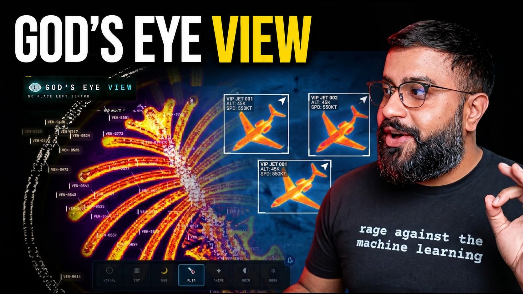
God's Eye View is an open-source project by former Google Maps engineer Bilawal Sidhu that brings a spy satellite simulation experience into the browser — powered by real satellite and map data. Leveraging WebGL and modern browser capabilities, it offers immersive geographic exploration without any software installation, serving as both a fun tool for curious users and a valuable reference for developers in map visualization and web rendering.
When Sci-Fi Becomes Reality
We've all seen the classic scene in countless spy thrillers and sci-fi blockbusters: an intelligence officer in a command center maneuvers a satellite via a giant screen, locking onto any coordinate on Earth in real time. The camera plunges from space and freezes on a rooftop or street corner. This "God's eye view" was once the ultimate privilege reserved for secret agents.
Now, an open-source project called God's Eye View is bringing that experience into ordinary people's browsers. Its tagline packs a punch — "Spy satellite simulator in your browser but the data is real." This isn't a rendered virtual scene; it's an interactive exploration tool built on real geographic data.
After launching on Product Hunt, the project received 79 upvotes, ranked #7 for the day, and was tagged under Open Source, GitHub, and Maps.
The Creator's Background: From Google Maps to the Cutting Edge
The satellite simulator was built by Bilawal Sidhu, a creator with serious credentials in the tech industry. His background is worth noting — he previously worked on maps at Google, or as he puts it, "Mapped the world at Google."
Today, he's turned his focus to the frontiers of creation and computation. He runs a Substack publication called Map the World with tens of thousands of subscribers, covering AI, AR/VR, robotics, and the technologies blurring the line between the physical and digital worlds. He emphasizes that his deep dives offer "technical depth and zero fluff."
With Google Maps on his résumé, God's Eye View carries extra credibility when it comes to data authenticity and the professionalism of its geographic rendering. This isn't a hobbyist demo — it's a product crafted by someone who deeply understands mapping technology.
Real Satellite Data: God's Eye View's Core Differentiator
The most critical differentiator of God's Eye View is that "the data is real." There's no shortage of satellite-perspective visualization toys or gamified simulators on the market, but most rely on pre-rendered fake scenery or procedurally generated virtual terrain.
This tool, however, emphasizes that its geographic information comes from real satellite and map data sources. What users see isn't an artistically embellished imaginary landscape — it's the actual surface of the Earth. This "authenticity" delivers value on two levels:
Immersion and Credibility
When you maneuver a "satellite" in your browser to look down on a city or region, the buildings, terrain, and roads all correspond to the real world. Backed by real data, the sci-fi "God's eye view" experience evolves from a visual gimmick into a geographic visualization tool with genuine exploratory value.
Transparency and Extensibility Through Open Source
As an open-source project hosted on GitHub, God's Eye View's implementation is fully transparent to developers. This means anyone interested can not only experience it firsthand but also study how it calls geographic data, how it achieves smooth satellite-perspective rendering in the browser, and even build on top of it.
For developers looking to learn about map visualization, WebGL rendering, or geographic data processing, this is a high-quality reference resource.
The Technology Trends Behind It: Why It Runs in a Browser
The popularity of God's Eye View reflects several noteworthy technology trends.
First, the continuous evolution of browser capabilities. Complex geographic visualizations that once required specialized GIS software or desktop clients can now run smoothly and entirely in the browser. This is driven by the ongoing advancement of web graphics rendering technologies like WebGL and WebGPU, along with the ever-increasing computing power of modern browsers.
Second, the democratization of geographic data. Satellite and map data once held exclusively by government agencies and large corporations is becoming increasingly open and accessible. This gives individual developers the opportunity to build applications that previously only professional organizations could create.
Finally, it echoes a theme that Bilawal Sidhu has consistently explored — the convergence of the physical and digital worlds. Whether it's AR/VR, digital twins, or real-data-driven visualization tools like this one, they're all fundamentally exploring how digital means can help us better understand and interact with the physical world we inhabit.
Who Should Try God's Eye View
For general users, God's Eye View offers an accessible and entertaining experience — satisfying the innate human curiosity to look down at Earth from above. Open your browser and simulate satellite reconnaissance, no software installation required.
For developers, especially those working in map development, geographic information systems, or web graphics rendering, the project holds significant learning and reference value as an open-source resource.
For tech-savvy observers, it's an excellent case study of what's possible with the "browser + real geographic data" technology combination. When a project can make the complex experience of satellite reconnaissance feel effortlessly accessible, it has already proven the maturity of this technical approach.
Conclusion
God's Eye View takes a supremely compelling concept — "a spy satellite simulator powered by real data" — and brings a sci-fi experience into everyone's browser. It's simultaneously an engaging toy, an open-source technical demonstration, and a testament to the democratization of geographic visualization technology.
When the "God's eye view" that once belonged only to secret agents can be casually opened in a browser tab, we may be witnessing the boundary between the physical and digital worlds dissolving even further.
Related articles

DeepCell: One-Click AI Generation of Documents, Spreadsheets, and Slides
DeepCell tops Product Hunt with one-click generation of documents, spreadsheets, and slides, using the .deepcell format for linked updates, designed for System 2 tasks like modeling and sales reviews.

Doneas: 15-Minute Daily Accountability Calls That Keep Indie Developers From Procrastinating
Doneas is a daily accountability tool for indie developers: plan tasks on Monday, join a 15-minute call with five builders each day, and log deliveries on a public progress page. This article analyzes its core mechanics, effectiveness, and potential issues around retention and matching.

Fastlane 2.0: Fully Automated AI Ad Campaigns, From Creative to Optimization
Fastlane 2.0 is an AI ad automation tool: enter your website and it learns your brand, generates video and image ads, and runs and optimizes them on Meta, TikTok, Instagram, and YouTube.