SATFRONT: Automatic Detection of Atmospheric Fronts Using Satellite Data and Machine Learning

SATFRONT directly detects cold, warm, and occluded fronts from geostationary satellite observations, approaching human analysis performance.
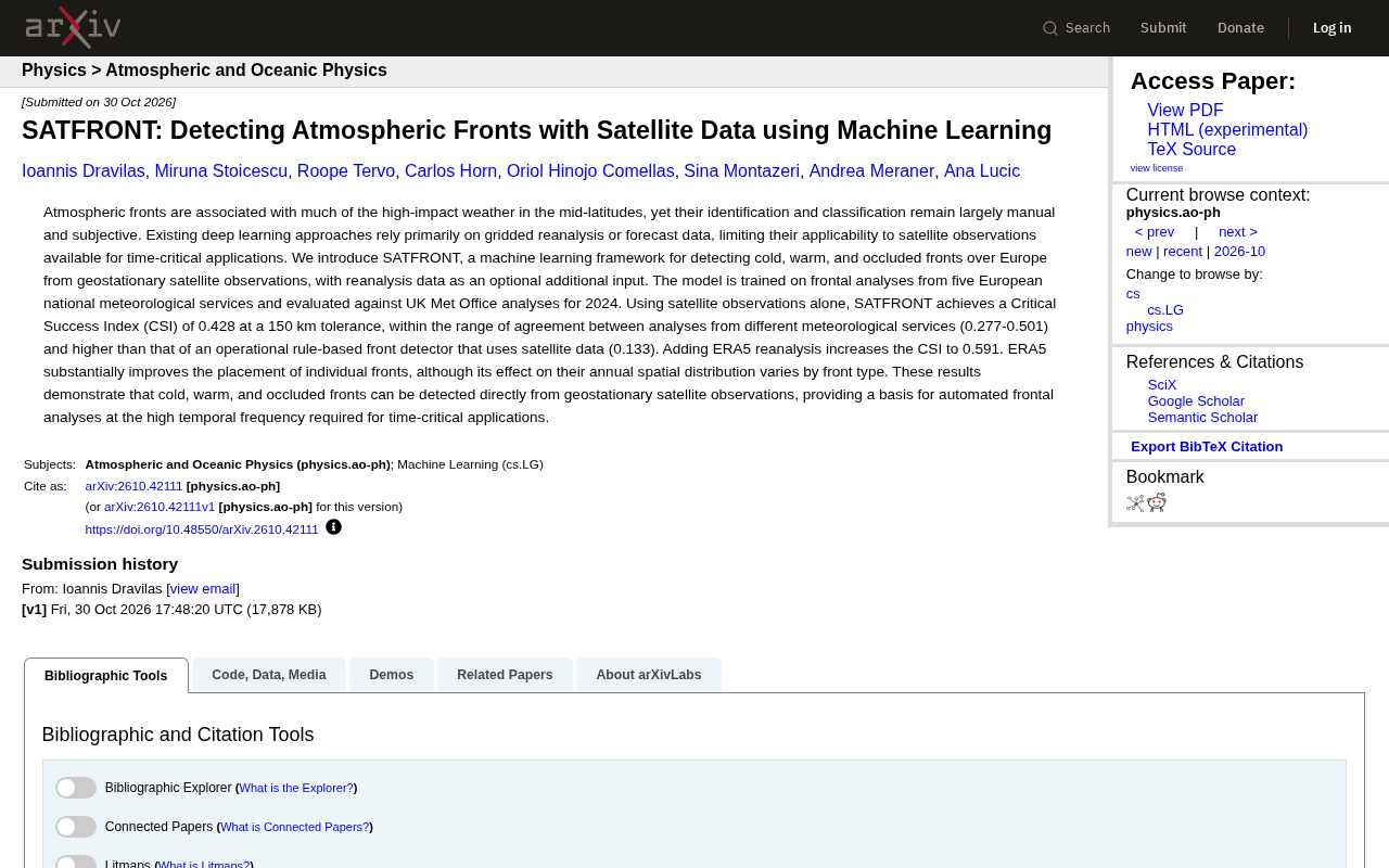
SATFRONT is a machine learning framework using geostationary satellite observations as primary input and ERA5 reanalysis as optional auxiliary input to detect cold, warm, and occluded fronts over Europe. With satellite data alone, it achieves CSI of 0.428 at 150 km tolerance, within the inter-agency manual analysis consistency range (0.277–0.501) and far above rule-based operational detectors (CSI 0.133). Adding ERA5 raises CSI to 0.591, exceeding the inter-agency manual consistency upper bound and significantly improving individual front positioning. The work proves front types can be learned directly from satellite observations, enabling high-frequency, low-latency automated front analysis for nowcasting, aviation meteorology, and disaster warning, though generalization outside Europe remains unverified.
Atmospheric fronts are one of the primary triggers of high-impact weather in the mid-latitudes, yet their identification and classification still rely heavily on subjective human judgment. Traditional deep learning approaches are mostly based on gridded reanalysis or forecast data, making them difficult to apply directly to time-sensitive satellite observation scenarios. A new paper proposes the SATFRONT framework, which attempts to directly detect cold fronts, warm fronts, and occluded fronts from geostationary satellite observations, offering a new technical pathway for automated front analysis.
Why Does Front Detection Still Rely on Humans?
Fronts are boundary zones between cold and warm air masses, often accompanied by high-impact weather such as heavy precipitation, strong winds, and sudden temperature changes. Accurately identifying front positions and types is crucial for weather forecasting and disaster warnings. However, mainstream front analysis is still manually drawn by meteorologists, and results may differ between institutions and forecasters, making subjectivity difficult to avoid.
Although existing deep learning methods have achieved a degree of automation, they mainly rely on gridded reanalysis data or numerical model forecast products. Such data has temporal lag, making it difficult to meet the needs of time-sensitive applications like nowcasting. In contrast, geostationary meteorological satellites can provide high-frequency, large-scale observations, making them a more ideal real-time data source—yet research on front detection directly from satellite imagery remains relatively limited.
Core Design of SATFRONT
SATFRONT is a machine learning framework aimed at detecting cold fronts, warm fronts, and occluded fronts over Europe from geostationary satellite observations. A key design feature is that it uses satellite observations as the primary input and reanalysis data as an optional auxiliary input. This architecture allows the model to work with satellite data alone, while further improving accuracy when additional data is available.
Training data comes from front analysis products of five European national meteorological agencies, with evaluation using UK Met Office analysis results. This cross-institutional data usage inherently accounts for the reality that analysis standards differ between meteorological services.
Geostationary meteorological satellites (such as Europe's Meteosat series and the US GOES series) operate in geosynchronous orbit, providing high-frequency observations of the same region every 5–15 minutes, in stark contrast to polar-orbiting satellites that cover the same area only once or twice per day. Their onboard multi-channel imagers provide information in visible, infrared, and water vapor bands, and frontal cloud systems (such as cumulus bands behind cold fronts and stratiform clouds ahead of warm fronts) exhibit identifiable textures and brightness temperature characteristics across different channels—this is precisely the basis for data-driven methods to learn front signals from satellite imagery. The high timeliness and large-scale coverage of geostationary satellites make them an ideal data source for time-sensitive applications like nowcasting, which also explains why SATFRONT chose satellite observations rather than lagged gridded reanalysis data as its primary input.
Performance When Using Satellite Data Alone
The results presented in the paper are noteworthy. Using only satellite observations, SATFRONT achieves a Critical Success Index (CSI) of 0.428 at a 150 km tolerance. This number needs to be understood in context: the consistency range between manual analyses from different meteorological agencies is 0.277 to 0.501, and SATFRONT's score falls within this range, indicating that its performance is already approaching the level of inter-agency manual analysis differences.
Compared with operational rule-based front detectors, the gap is even more pronounced. Rule-based detectors using the same satellite data achieve a CSI of only 0.133, and SATFRONT is far ahead. This demonstrates that data-driven learning methods have an advantage over manually defined rules in capturing complex weather systems like fronts.
The Critical Success Index (CSI) is a commonly used metric in meteorology for evaluating the accuracy of binary forecasts (such as "whether a grid point has a front"), calculated as hits divided by (hits + false alarms + misses). Its value ranges from 0 to 1, with higher values indicating better overall performance after accounting for hits, false alarms, and misses. However, it tends to be low for rare events (such as fronts covering only a small fraction of grid points), so a value around 0.4 is already usable for front detection tasks. CSI is very sensitive to tolerance radius: even if a front position deviates by only a few tens of kilometers, it will be counted as a miss or false alarm under strict grid matching. Therefore, the paper uses a 150 km tolerance to match detection results with manual analyses, reflecting operationally acceptable positioning errors. For this reason, comparing model CSI with "inter-agency manual analysis consistency" better demonstrates its practical operational value than simply pursuing high scores.
Improvement After Adding Reanalysis Data
When ERA5 reanalysis data is used as an additional input, SATFRONT's CSI improves to 0.591, exceeding the upper bound of inter-agency manual analysis consistency. The paper notes that ERA5 significantly improves the positioning of individual fronts, but its impact on the annual spatial distribution of fronts varies by front type.
This result reveals a valuable trade-off: if maximum accuracy is the goal, the combination of satellite plus reanalysis is the best choice; if the application scenario requires low latency, pure satellite input can already provide usable detection results. For time-critical applications, the latter may be more significant.
ERA5 is the fifth-generation global atmospheric reanalysis dataset released by the European Centre for Medium-Range Weather Forecasts (ECMWF), providing hourly three-dimensional fields of temperature, wind, humidity, pressure, and other variables at approximately 31 km horizontal resolution by assimilating historical observations with numerical models. The advantage of reanalysis data lies in its complete and spatiotemporally continuous physical variables, which can characterize thermodynamic structures near fronts such as temperature gradients, wind shear, and dew point fronts—information that is difficult to obtain directly from satellite cloud imagery alone. However, the cost is the need to wait for observation assimilation and model computation to complete, resulting in delays of several hours to several days that cannot meet real-time detection needs. SATFRONT sets ERA5 as an optional auxiliary input precisely to provide a configurable compromise between accuracy and timeliness: offline analysis or scenarios with lower timeliness requirements can enable ERA5 to improve positioning accuracy, while real-time operations rely solely on satellite channels.
Prospects for Automated Front Analysis
The significance of SATFRONT goes beyond a higher CSI number. It demonstrates that cold fronts, warm fronts, and occluded fronts can be detected directly from geostationary satellite observations, laying the foundation for high-frequency automated front analysis. High-frequency front analysis products are expected to play a role in nowcasting, aviation meteorology, and disaster warning scenarios.
Of course, the paper's evaluation is focused on the European region, and the model's generalization capability in other climate regions remains to be verified. The impact of different satellite platforms and observation data at different resolutions on model performance is also a question that future research needs to address. But in terms of the method itself, SATFRONT provides a clear example of the deep application of satellite data in weather analysis.
One-line Summary
SATFRONT directly detects cold, warm, and occluded fronts from geostationary satellite observations, achieving performance close to human analysis levels.
Paragraph Summary
SATFRONT is a machine learning framework that uses geostationary satellite observations as the primary input and ERA5 reanalysis data as an optional auxiliary input to detect cold fronts, warm fronts, and occluded fronts over Europe. Using satellite data alone, it achieves a CSI of 0.428 at 150 km tolerance, falling within the inter-agency manual analysis consistency range (0.277–0.501) and far exceeding rule-based operational detectors using satellite data (CSI 0.133). Adding ERA5 improves CSI to 0.591, exceeding the upper bound of inter-agency manual consistency and significantly improving individual front positioning accuracy. This work demonstrates that front types can be learned and detected directly from satellite observations, laying the foundation for high-frequency, low-latency automated front analysis and applications in nowcasting, aviation meteorology, and disaster warning, though its generalization capability outside Europe remains to be verified.
Related articles
 Tech Frontiers
How Do You Stop AI Agent Emails From Sounding Like AI? One Developer's Solution
AI agent emails always sound like AI? A developer shares reright: a rewrite step that validates numbers, names, and links, preventing humanizers from tampering with key info. Test data and integration details inside.
 Tech Frontiers
Starlink Mobile: SpaceX's Carrier Ambitions and the 5G Deployment Challenge
SpaceX plans to make Starlink Mobile a mainstream carrier, deploying thousands of direct-to-cell satellites and building a terrestrial 5G network to challenge AT&T, Verizon, and T-Mobile. This article analyzes its dual-track strategy, 5G deployment challenges, and the competitive landscape.
 Tech Frontiers
OpenAI Raises Another $11 Billion, Valuation Hits $1.25 Trillion
OpenAI has raised an additional $11 billion in a new funding round at a valuation of $1.25 trillion. The deal is not yet closed and is expected to be completed in the coming weeks, further consolidating its leading position in AI.