Guide to Acquiring Stereo Camera + IMU Fusion Datasets: Open-Source Resources and Combination Strategies

A comprehensive guide to open-source stereo camera + IMU datasets and multi-dataset combination strategies.
This article explores how to obtain large-scale stereo camera and IMU fusion datasets for Visual SLAM and VIO research. It reviews major open-source datasets including KITTI, EuRoC, nuScenes, and Waymo, analyzes their strengths and limitations, and discusses critical engineering challenges when combining multiple datasets—sensor heterogeneity, time synchronization precision, and licensing restrictions.
Background: Why Stereo Camera + IMU Fusion Data Is Needed
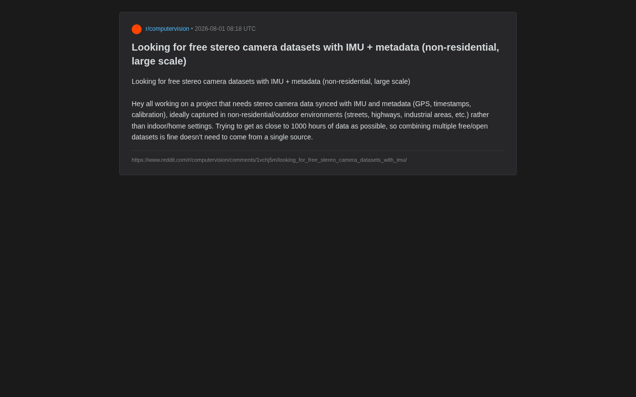
Recently in Reddit's robotics and autonomous driving communities, a developer posted a highly representative data request: seeking free, large-scale stereo camera datasets synchronized with IMU (Inertial Measurement Unit) data, including GPS, timestamps, calibration parameters, and other metadata. Furthermore, the developer explicitly required data collected from non-residential outdoor environments—streets, highways, industrial areas, etc., rather than indoor or domestic scenes—with a target data volume approaching 1000 hours.
This request reflects a core pain point in current Visual SLAM (Simultaneous Localization and Mapping), autonomous driving perception, and VIO (Visual-Inertial Odometry) research: high-quality, multi-sensor synchronized, and sufficiently large-scale open-source data remains a scarce resource.
Visual SLAM refers to the technology that enables robots or autonomous driving systems to simultaneously perform self-localization and environmental map construction using only visual sensors in unknown environments. Its core challenge lies in extracting stable feature points from consecutive image frames, estimating camera motion, and progressively building a globally consistent 3D map. VIO is an important sub-problem of SLAM, focusing on estimating the pose changes of a platform by fusing visual and inertial information. Representative algorithms include VINS-Mono, OKVIS, MSCKF, etc., which fuse IMU pre-integration with visual observations through tight or loose coupling, achieving robust state estimation within Extended Kalman Filter or graph optimization frameworks. It is precisely these algorithms' stringent requirements for data quality and sensor synchronization that gave rise to the developer's request.
Why Stereo Cameras, IMU, and GPS Must Be Synchronized
Stereo cameras provide depth perception capability by computing 3D structure through disparity between left and right views. Specifically, stereo depth estimation is based on the triangulation principle: given the baseline distance b between two cameras and focal length f, by matching the pixel position difference (disparity d) of the same physical point in left and right images, the depth Z=bf/d can be calculated. A longer baseline yields higher depth accuracy for distant objects, but also increases occlusion regions for nearby objects. Stereo matching algorithms have evolved from traditional SGM (Semi-Global Matching) to modern deep learning methods like AANet and RAFT-Stereo, achieving significant improvements in both accuracy and real-time performance.
The IMU outputs angular velocity and acceleration at high frequency (typically above 200Hz), compensating for camera localization failures during rapid motion or texture-poor scenes. The significance of IMU high-frequency sampling lies not only in filling motion information gaps between camera frames, but also in using pre-integration technology to compress numerous IMU measurements between two camera keyframes into a single relative motion constraint. This pre-integration theory, proposed by Forster et al. in 2015, enables IMU data to be efficiently embedded into factor graph optimization frameworks. High-frequency sampling also means the system can maintain short-term localization accuracy during camera motion blur or underexposure. Typical IMU noise models contain two components: white noise and random walk bias, and accurate calibration of these parameters directly affects the long-term accuracy of the fusion system.
GPS and precise timestamps provide the global reference and cross-sensor alignment foundation for the entire system. All three are indispensable—this is why pure image datasets cannot satisfy VIO or multi-sensor fusion research.
Calibration parameters are particularly critical. Without accurate camera intrinsics, stereo extrinsics, and camera-IMU spatiotemporal calibration, collected raw data is virtually unusable for serious algorithm validation. Camera-IMU calibration requires determining two types of parameters: spatial calibration (extrinsics), i.e., the rigid body transformation from the IMU coordinate frame to the camera coordinate frame (rotation matrix + translation vector), and temporal calibration, i.e., the fixed offset between the two sensor clocks (time offset). Classic tools like Kalibr (developed by ETH Zurich) jointly estimate these parameters by observing the motion of a checkerboard calibration target while exciting all IMU axes, using continuous-time B-spline trajectory representation. Even a few milliseconds of time offset error can cause centimeter-level localization deviation in fast-motion scenarios, which is why hardware-triggered synchronization is so important.
Overview of Major Open-Source Stereo + IMU Datasets
For this developer's needs, the field already has a considerable number of mature open-source datasets available for combined use. Below are some of the most representative options.
KITTI Dataset: The Classic Benchmark in Autonomous Driving
KITTI is one of the most classic open-source datasets in autonomous driving, jointly released by Karlsruhe Institute of Technology in Germany and Toyota Technological Institute at Chicago. It was collected from urban streets, rural roads, and highways in Karlsruhe, Germany, fully meeting the requirement for "non-residential outdoor environments."
KITTI provides stereo grayscale and color images, Velodyne LiDAR point clouds, GPS/IMU positioning data, and complete calibration files. Its stereo baseline is approximately 0.54 meters, and paired with 1392×512 resolution, it provides relatively reliable depth estimation within the typical 30-80 meter ranging distance for autonomous driving. Although the total recording time is limited (approximately 6 hours of driving data), its data quality and annotation completeness are industry benchmarks. For research requiring precise ground truth, KITTI is almost an unavoidable starting point. It's worth noting that KITTI's evaluation leaderboard remains the standard evaluation platform for multiple subtasks including stereo matching, optical flow estimation, object detection, and visual odometry.
EuRoC MAV Dataset: The Gold Standard for VIO Algorithm Validation
EuRoC was released by ETH Zurich. Although some sequences were collected in indoor machine hall environments, its strict temporal synchronization between stereo cameras and IMU plus high-precision calibration make it the gold standard for VIO algorithm validation. The dataset includes millimeter-level ground truth trajectories provided by Vicon motion capture or Leica laser tracking.
EuRoC uses global shutter cameras capturing images at 20Hz, with IMU outputting data at 200Hz, synchronized via hardware triggering at microsecond-level precision. The dataset contains 11 sequences, categorized into "easy," "medium," and "difficult" levels, with difficult sequences containing rapid six-degree-of-freedom motion and strong illumination changes. Almost all mainstream VIO systems (such as VINS-Mono, ORB-SLAM3, Basalt, etc.) use EuRoC as their primary evaluation benchmark.
It should be noted that EuRoC leans toward indoor and small-scale scenes, which presents a certain mismatch with the developer's outdoor large-scale requirements. It is better suited as a supplementary algorithmic baseline.
nuScenes and Waymo Open Dataset: Large-Scale Urban Road Data
For scale-oriented needs, nuScenes (released by Motional) and Waymo Open Dataset are more modern choices. Both datasets were collected from real urban roads, containing complete sensor suites including multiple cameras, LiDAR, radar, GPS, and IMU, with data volumes measured in hundreds or even thousands of hours.
nuScenes covers 1000 driving scenes from two cities—Boston and Singapore—providing six surround-view cameras, one 32-beam LiDAR, five millimeter-wave radars as a complete sensor suite, with 1.4 million 3D bounding box annotations at 2Hz keyframe frequency. Waymo Open Dataset is even larger in scale, collected from U.S. cities including San Francisco and Phoenix, containing over 2000 twenty-second driving segments with a sensor configuration of five cameras plus five LiDARs.
However, both focus more on object detection and tracking annotations rather than pure stereo disparity and VIO. Their camera configurations are often multi-view surround rather than standard stereo baselines, requiring careful evaluation of whether the camera geometry meets project requirements. For example, if an algorithm assumes standard stereo epipolar constraints, the non-parallel optical axis configuration of surround cameras may require additional image rectification steps.
Strategies and Common Pitfalls for Multi-Dataset Combination
The developer mentioned that "combining multiple free datasets is acceptable"—this is a pragmatic approach, but it also hides numerous engineering pitfalls.
Sensor Configuration Heterogeneity Issues
Different datasets have varying stereo baselines, camera resolutions, IMU sampling frequencies, and coordinate system definitions. KITTI's stereo baseline is approximately 0.54 meters, while other datasets may differ significantly. Directly mixing data for training or evaluation introduces systematic bias, necessitating normalization or domain-specific processing during preprocessing.
Specifically, baseline differences directly affect the effective range and accuracy distribution of depth estimation—short baselines suit close-range high-precision scenarios, while long baselines favor long-range detection. Additionally, different datasets may use different coordinate system conventions (e.g., NED vs. ENU, front-left-up vs. right-down-front). If coordinate system conversions are incorrect when mixing datasets, it leads to systematic errors in fundamental quantities like gravity direction and motion direction. It's recommended to unify all data to a clearly defined coordinate system at the very front of the data pipeline, and to document the transformation matrix for each dataset.
Camera-IMU Time Synchronization Precision Differences
The camera-IMU temporal alignment precision varies across datasets. Some datasets achieve microsecond-level synchronization through hardware triggering, while others rely on software timestamps with errors potentially reaching tens of milliseconds. For time-sensitive applications like VIO, such differences significantly affect algorithm performance.
Hardware synchronization typically uses FPGA or microcontrollers to generate precise trigger pulses, recording IMU timestamps at the exact moment of exposure start, achieving sub-millisecond alignment. Software synchronization relies on the operating system clock, affected by scheduling delays, USB transmission jitter, and other factors, with typical errors between 5-50 milliseconds. At a vehicle speed of 60km/h (approximately 16.7m/s), a 10-millisecond time offset means approximately 17 centimeters of position uncertainty. When using multiple datasets, it's recommended to document each dataset's synchronization method and explicitly model time offset parameters in VIO state estimation (online time offset estimation).
Dataset Licensing and Commercial Restrictions
It's worth noting that many "free" datasets are limited to non-commercial research use only. KITTI, nuScenes, and others have explicit licensing restrictions for commercial scenarios. If a project ultimately involves commercialization, each dataset's license agreement must be individually verified to avoid legal risks.
For example, KITTI uses a Creative Commons BY-NC-SA license, explicitly prohibiting commercial use; nuScenes uses CC BY-NC-SA 4.0; Waymo requires signing a separate usage agreement with strict restrictions on publishing derivative works. In comparison, some newer datasets like Argoverse 2 use CC BY-NC-SA 4.0, while DDAD (Dense Depth for Autonomous Driving) offers relatively permissive licensing. When building commercial product data pipelines, license compliance review should be conducted in parallel with technical evaluation.
Practical Recommendations: The Complete Path from Data Acquisition to Deployment
This Reddit developer's request essentially reflects a common dilemma across the entire embodied intelligence and autonomous driving research field—data accessibility, quality, and scale are difficult to achieve simultaneously. While open-source datasets are plentiful, resources truly satisfying the combined criteria of "stereo + IMU + complete metadata + large-scale outdoor" remain limited.
For similar needs, a viable path is: build an outdoor large-scale data foundation using KITTI, nuScenes, and Waymo as the backbone; use high-precision datasets like EuRoC for algorithm baseline calibration; and thoroughly address sensor heterogeneity and time synchronization issues in the preprocessing pipeline. When open-source data still cannot fill the gap, building custom data collection platforms or using simulation environments like CARLA or AirSim to generate synthetic data is an increasingly common supplementary approach in the industry.
CARLA is an open-source autonomous driving simulation platform built on Unreal Engine, capable of simulating realistic urban environments, dynamic traffic participants, and various weather conditions, outputting perfectly synchronized multi-sensor data (including RGB cameras, depth maps, semantic segmentation, IMU, GPS, etc.) with precise ground truth annotations. AirSim, developed by Microsoft, was initially designed for drone simulation but later expanded to autonomous driving scenarios. The core advantage of simulated data is: perfect sensor synchronization without error, precisely known ground truth trajectories, and the ability to generate unlimited quantities of arbitrary scenarios on demand. Its main limitation is the sim-to-real gap—systematic differences between simulated image textures, lighting, and dynamic characteristics versus the real world may cause algorithms that perform well in simulation to degrade when transferred to real scenarios. The industry currently uses domain adaptation, domain randomization, and Neural Radiance Fields (NeRF) technologies to bridge this gap.
Data acquisition is always just the starting point of research. How to clean, align, and standardize this heterogeneous data is the true key to project success. A complete multi-dataset fusion pipeline typically includes: format unification (converting to standard formats like ROS bag or HDF5), coordinate system alignment, timestamp normalization, unified intrinsic/extrinsic representation, data quality inspection (filtering out anomalous frames such as IMU saturation or image overexposure), and final train/validation/test split. Only when this foundational engineering work is done solidly can subsequent algorithm development be built on a reliable data foundation.
Key Takeaways
Related articles

OpenAI's Ohio Data Center: A Complete Breakdown of Grid Upgrades, Water Use, and Community Commitments
OpenAI partners with SB Energy and NVIDIA to build a massive AI data center in Pike County, Ohio, pledging grid costs won't burden residents, using closed-loop air cooling, creating 35,000 jobs, and investing $80M in the community.

Hollywood Creatives Forced to Train AI to Replace Themselves: The Cruel Reality of Digging One's Own Grave
Hollywood writers, voice actors, and illustrators are being hired to train AI systems, accelerating the automation of their own careers. A deep analysis of the ethical dilemmas and labor challenges.

How AI Video Generation Works: Diffusion Models, Motion Transfer, and Optical Flow Explained
Deep dive into three core AI video generation technologies: diffusion models, motion transfer, and optical flow — the tech behind Sora, Runway, and more.