LLM-Powered GeoAI: Ethics and Privacy Governance Challenges in Geospatial AI
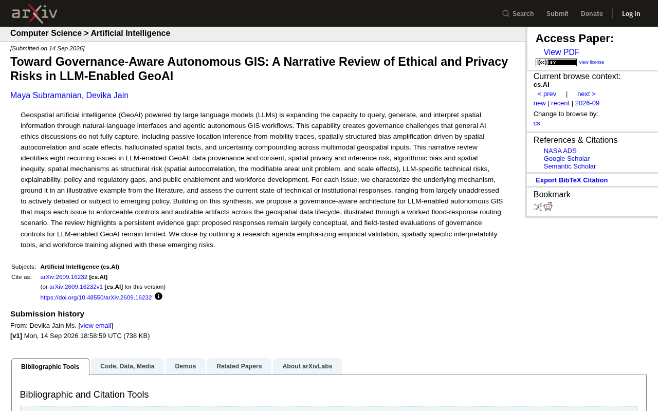
A systematic review of eight unique governance risks in LLM-powered GeoAI, with an auditable agentic GIS architecture blueprint.
LLMs are making geospatial analysis more accessible than ever, but in doing so introduce governance challenges that general AI ethics frameworks struggle to cover. This arXiv narrative review distills eight recurring core risks — including passive location inference, spatial autocorrelation-driven bias amplification, the Modifiable Areal Unit Problem, spatial hallucinations, lack of explainability, and regulatory gaps. The paper's central contribution is a governance-oriented agentic GIS architecture that maps these risks to actionable controls and auditable artifacts across the data lifecycle, illustrated through a flood emergency routing scenario. The authors also candidly acknowledge that most proposed solutions remain conceptual, calling on researchers, policymakers, and practitioners to close the evidence gap between concept and real-world deployment.
Large language models (LLMs) are reshaping the capability boundaries of geospatial artificial intelligence (GeoAI). Through natural language interfaces and agentic GIS workflows with autonomous decision-making capabilities, users can query, generate, and interpret spatial information in everyday language. Behind this convenience, however, lie governance challenges that general AI ethics discussions struggle to address. A narrative review from arXiv systematically maps the risk landscape in this domain and proposes governance-oriented architectural design principles.
Why GeoAI Governance Is Uniquely Complex
Geospatial data is inherently location-bearing, which makes its risk profile fundamentally different from general text or image data. The paper identifies a series of unique hazards introduced by LLM-powered GeoAI: passive inference of personal locations from movement trajectories, bias amplification driven by spatial autocorrelation and scale effects, fabricated spatial facts (spatial hallucinations), and uncertainty that accumulates across multi-modal geographic inputs.
These issues are rooted in the structural characteristics of spatial data. While ordinary AI bias might manifest as systematic discrimination against certain demographic groups, in a spatial context, bias spreads and reinforces itself along geographic boundaries — data errors in one region can propagate to neighboring areas through spatial autocorrelation, ultimately producing "spatial inequality." This is precisely the blind spot of general AI ethics frameworks.
Eight Recurring Core Risks
The review distills eight recurring issues from the literature, forming a foundational framework for understanding GeoAI governance:
Data and Privacy
Data provenance and consent concerns where geographic data comes from and whether proper authorization has been obtained. Spatial privacy and inference risk is more subtle — even when users never explicitly disclose their home address, a system may infer their place of residence, workplace, and daily habits from movement trajectories. This "passive location inference" is one of the most significant privacy threats in the LLM era of GeoAI.
Passive location inference poses risks far beyond intuitive expectations. Research has shown that just four spatio-temporal coordinate points are sufficient to uniquely identify an individual with over 95% probability (de Montjoye et al., 2013). In LLM-powered GeoAI scenarios, a user might simply describe "a coffee shop near my home" or upload a photo with geographic metadata — and the system can reconstruct their place of residence, daily commute route, and even household structure through semantic reasoning and trajectory correlation. Traditional privacy protection mechanisms (such as data anonymization) are typically designed for structured databases and offer virtually no protection against this kind of multi-step location inference triggered through natural language interaction. This is the essential difference between GeoAI privacy threats and general AI privacy issues.
Bias and Spatial Mechanisms
Algorithmic bias and spatial inequality points to systematic disparities in AI decision-making across different geographic regions. More fundamental is what the paper emphasizes as spatial mechanisms as structural risks, including spatial autocorrelation, the Modifiable Areal Unit Problem (MAUP), and scale effects. These seemingly technical geographic concepts are in fact amplified into barely detectable systematic biases within AI reasoning.
The Modifiable Areal Unit Problem (MAUP) is a classic yet often overlooked trap in spatial analysis: the same geographic dataset can yield entirely different — even contradictory — conclusions depending on how statistical units are defined (e.g., administrative districts, census blocks) or at what scale the data is aggregated. For example, analyzing urban crime rates at the street level versus the district level may produce completely reversed conclusions. When LLMs automate geographic analysis pipelines, they typically have no way of perceiving the spatial partitioning scheme underlying the input data, which means systematic biases introduced by MAUP are silently inherited throughout the reasoning chain without triggering any warning. Spatial autocorrelation refers to the tendency of geographically proximate things to be more similar in their attributes (Tobler's First Law of Geography), which creates non-independence among samples during AI model training, causing errors to "infect" neighboring regions — a data quality issue in one area propagates as a systemic bias across a broader range through geographic adjacency relationships.
Technical and Institutional Dimensions
LLM-specific technical risks encompass hallucinations, uncertainty propagation, and related issues. Explainability concerns whether users can understand why an AI arrived at a particular spatial judgment. Policy and regulatory gaps reveal how current legislation lags behind this emerging domain. Public empowerment and workforce development highlights the absence of corresponding talent cultivation.
For each category, the authors analyze the underlying mechanisms, cite representative cases from the literature, and assess the maturity of current technical or institutional responses — ranging from "essentially unaddressed" to "under active discussion" or "with nascent policy frameworks."
A Governance-Oriented Agentic GIS Architecture
The central contribution of this review goes beyond cataloging risks — it proposes a governance-oriented LLM agentic GIS architecture. The elegance of this framework lies in its mapping of the eight risk categories to actionable control measures and auditable artifacts, spanning the entire geospatial data lifecycle.
The authors use a "flood emergency route planning" scenario to demonstrate how this design operates. In such high-stakes applications, AI must plan evacuation or rescue routes in real time during a flood disaster, where any spatial hallucination or bias could have serious consequences. By embedding governance checkpoints at each stage of data collection, model inference, and output generation, this architecture aims to make every decision step traceable and auditable.
Agentic GIS refers to intelligent agent systems that use LLMs as the core reasoning engine and can autonomously plan and execute multi-step geospatial tasks. Unlike traditional GIS tools that require users to operate step by step, agentic GIS can receive natural language instructions and then independently call map APIs, execute spatial queries, run buffer analyses, and generate visualization reports. This autonomy dramatically lowers the barrier to entry, but also introduces new governance challenges: when a system chains together multiple tools and data sources without human supervision, errors and biases compound and amplify along the chain, with intermediate steps remaining opaque to users. The governance architecture proposed in the paper centers on the idea of forcibly inserting auditable "checkpoints" at each critical node in this automated chain — recording data provenance, model uncertainty, and decision rationale — so that the entire reasoning process has retrospective traceability.
From Concept to Practice: A Persistent Evidence Gap
The paper candidly identifies a key practical dilemma: most proposed solutions remain largely conceptual, with very limited empirical testing and evaluation of governance controls for LLM-powered GeoAI in real-world settings. In other words, the academic community has identified the problems and sketched out frameworks, but lacks validation data from real-world scenarios.
This "evidence gap" reminds us that GeoAI governance is still in its early stages. The research agenda proposed at the paper's conclusion emphasizes three directions: empirical validation — using real data to test whether governance controls are effective; spatially-specific explainability tools — developing techniques capable of explaining spatial reasoning logic; and workforce training matched to emerging risks — cultivating interdisciplinary talent that understands both GIS and AI ethics.
Conclusion
As LLMs make geospatial analysis more accessible than ever before, the importance of governance grows in parallel. The value of this review lies in systematically defining the problem boundaries and providing an actionable architectural blueprint. But to truly bring GeoAI up to standard in terms of privacy protection, fairness, and trustworthiness, researchers, policymakers, and practitioners must work together to close the gap between concept and implementation. For any team building or deploying spatial intelligence systems, embedding governance awareness into the design phase from the outset may be the best choice for mitigating future risks.
Related articles

Letting AI Build AI Tools: A 7-Day, 31-Commit Bootstrapping Post-Mortem
An engineer ran a fully autonomous AI-builds-AI pipeline for 7 days, 31 commits, with a 1-in-6 success rate. This post-mortem covers 5 failure types, 11 structural rules, and how every mistake became a permanent immunity gate.

Building an AI-Powered E-Commerce Business from Scratch: A Real-World Account of Multi-Agent Architecture for Print-on-Demand
A blogger builds a print-on-demand e-commerce company from scratch using AI agents — documenting specialized Agent profiles, GPT-5.6 vs Claude Fable multi-model orchestration, and reusable skill accumulation.

AI Agent Earns $10K in One Week: 3 Key Upgrades Explained
A blogger shares how he earned $10K in a week with an AI Agent — not by adding more skills, but through verification, approval gates, and subagents to raise trust and enable true automation.