Microsoft Launches Machine Learning Tool to Improve Medium- to Long-Range Weather Forecast Accuracy

Microsoft uses machine learning to break through the two-week forecasting bottleneck, extending the reliable weather window to two to six weeks.
Weather forecasting has long been constrained by the "predictability limit" defined by chaos theory, and traditional physical models and existing AI models experience a sharp drop in accuracy beyond two weeks. Microsoft's research team adopts a strategy combining machine learning with physical simulation, using historical meteorological data to train models to identify hidden medium-range patterns that physical models easily overlook, greatly lowering the computing threshold while maintaining or even improving accuracy. The tool focuses on medium-range forecasting for two to six weeks, with target users being farmers and emergency responders, aiming to support practical scenarios such as sowing decisions and extreme weather warnings. This direction is consistent with AI forecasting trends such as GraphCast and Pangu-Weather, but Microsoft differentiates itself by targeting the most challenging time scale of more than two weeks. However, key questions such as the specific degree of accuracy improvement, third-party verification, and the degree of openness of the tool remain unclear, and its actual impact remains to be seen.
Weather forecasting has always been a challenge at the intersection of physics and data science. Traditional physics-based forecasting methods perform reasonably well within two weeks, but once that time window is exceeded, accuracy drops sharply. Even the AI weather forecasting models that have emerged in recent years generally face the same bottleneck. Microsoft recently announced that its researchers have found a new machine learning-based method that can significantly improve medium-range weather forecast accuracy for the two- to six-week period in a more cost-effective way.
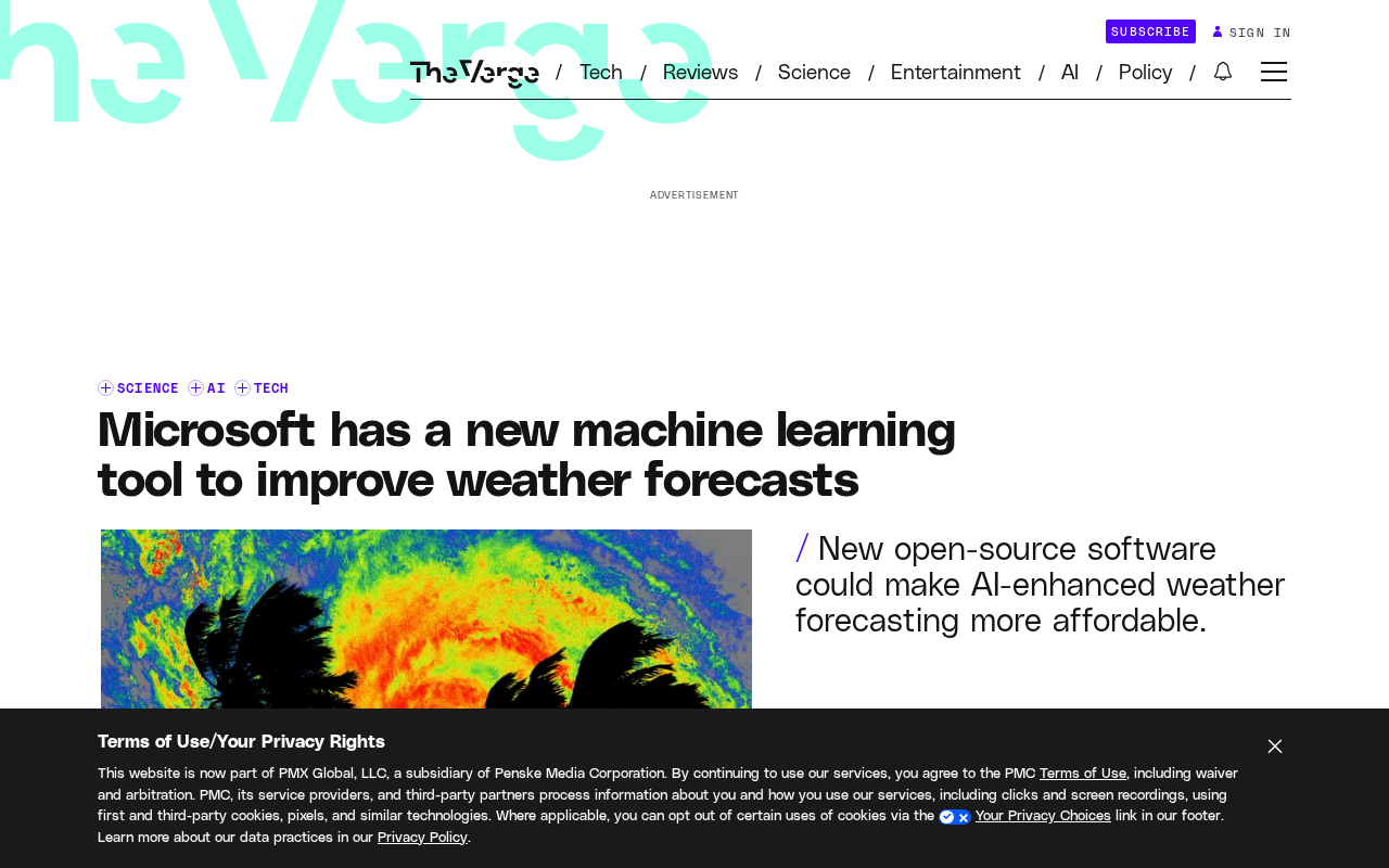
The Two-Week Curse: The Accuracy Cliff in Weather Forecasting
There is a widely recognized "predictability limit" to the accuracy of weather forecasting. Traditional numerical weather prediction relies on numerically solving the equations of atmospheric physics, consumes enormous supercomputing resources, and, as the forecast horizon extends, tiny errors in the initial conditions are rapidly amplified, causing results to gradually diverge from reality.
This phenomenon is known in chaos theory as the "butterfly effect"—a deviation that is almost negligible in the initial measurements can evolve into a completely different weather pattern two weeks later. For this reason, forecasts beyond two weeks have been regarded for decades as a "no man's land" in meteorology. Although the emergence of AI models has greatly reduced computational costs, it has not fundamentally broken through this time barrier.
Microsoft's research team's breakthrough this time targets exactly this core pain point. According to the company, the new tool can effectively extend the window of reliable forecasting and raise the accuracy of medium-range forecasting to a new level.
The predictability limit is a core concept in atmospheric science, referring to the time required for forecast error to grow to an unacceptable level given a certain initial observation accuracy. This limit is not determined by computing power or model precision, but by the inherent chaotic nature of the atmospheric system itself. In the 1960s, meteorologist Edward Lorenz discovered in numerical simulations that small perturbations in initial conditions grow exponentially, meaning that long-range forecasting has a theoretical ceiling. For the current global observation network, this limit is usually estimated at around two weeks. It is precisely this theoretical boundary that has long kept two- to six-week medium-range forecasting in a gray zone that is "feasible but extremely difficult"—far harder than short-range forecasting, yet not like seasonal prediction, which can rely on slow-varying boundary conditions such as sea surface temperature and circulation for constraints. The significance of Microsoft's tool lies precisely in using a data-driven approach to mine predictability within this interval where theory still leaves room.
The butterfly effect is a vivid description of the high sensitivity of chaotic systems to initial conditions, originating from the title of a 1972 talk by Lorenz. In the context of weather forecasting, it means that a perturbation so small that observation instruments can barely capture it can, through the continuous amplification of nonlinear atmospheric dynamic processes, ultimately lead to completely different weather patterns two weeks later. This explains a seemingly contradictory phenomenon: why increasing observation density and improving computational precision cannot indefinitely extend the validity period of reliable forecasts. Because error growth is exponential, any initial error will eventually drown out the true signal. Therefore, improvements in medium-range forecasting cannot rely only on "calculating more accurately"; they must also seek predictable windows within the structure of error growth—which is exactly where machine learning methods can play a role.
Technical Path: How Machine Learning Improves Medium-Range Forecasting
Microsoft has not completely abandoned traditional physical models, but instead adopted a strategy combining machine learning with physical simulation. The core idea of this approach is to use historical meteorological data to train models so that they learn to identify hidden patterns that physical models tend to overlook but that have an important impact on medium-range weather evolution.
According to the research team, the tool's cost-effectiveness is one of its major advantages. Traditional high-precision medium-range forecasting often requires invoking large-scale supercomputing clusters, whereas Microsoft's solution greatly lowers the computing threshold while maintaining or even improving accuracy. This means more institutions—including meteorological departments in developing countries with limited resources—have the opportunity to obtain high-quality medium-range forecasting services.
This approach is consistent with the overall trend in the current AI weather forecasting field: models such as Google's GraphCast and Huawei's Pangu-Weather are all attempting to replace or enhance traditional numerical methods with deep learning. Microsoft's differentiation lies in its clear focus on the most challenging time scale: "more than two weeks."
Hybrid modeling is an important technical direction in current AI weather forecasting, referring to combining data-driven machine learning models with traditional numerical models based on physical equations, rather than completely replacing physical models with neural networks. The advantage of this strategy is that physical models provide constraints consistent with the basic laws of atmospheric motion, ensuring that forecast results do not enter physically unreasonable states; while machine learning is good at mining statistical patterns from massive historical data that are not explicitly expressed in physical parameterization schemes, especially those hidden processes that have an important impact on medium-range evolution but are difficult to describe with analytical formulas. Compared with pure AI models (such as GraphCast), which need to completely reconstruct atmospheric dynamics from data, hybrid modeling has more controllable dependence on training data and is easier to incorporate domain knowledge, so it is considered a more robust path at the time scale of medium-range forecasting, where physical constraints are particularly critical.
GraphCast is a global medium-range weather forecasting model based on graph neural networks (GNN) released by Google DeepMind in 2023. It directly represents the atmospheric state as a graph structure on a spherical grid and learns long-range spatial dependencies through a message-passing mechanism, capable of generating a ten-day forecast in less than a minute on a single TPU. GraphCast surpassed the traditional high-resolution model of the European Centre for Medium-Range Weather Forecasts (ECMWF) on multiple metrics, attracting widespread attention in the AI meteorology field. Similar to it is the Pangu-Weather model developed by Huawei Cloud, which uses a three-dimensional Transformer architecture to process isobaric surface data. The common feature of these models is extremely fast inference and computational costs far lower than traditional numerical forecasting, but they generally encounter bottlenecks in maintaining accuracy beyond ten days. Microsoft's focus on the two- to six-week window this time is precisely an attempt to establish a differentiated advantage at this recognized most difficult time scale.
Application Scenarios: Rigid Demand in Agriculture and Emergency Response
The two- to six-week time window is exactly the critical period for decision-making in many industries. For farmers, the choice of sowing and harvesting timing directly affects the annual harvest, and the current short-range forecasts within two weeks are insufficient to support such medium- to long-term planning. If a relatively reliable weather trend can be obtained about a month in advance, the risk management capacity of agricultural production will be substantially improved.
Emergency response departments are also direct beneficiaries. For every day that early warning time for extreme weather events such as floods, droughts, and heatwaves is extended, more room can be gained for personnel evacuation and material allocation. Microsoft explicitly lists farmers and emergency responders as target user groups, indicating that the tool was designed from the outset for real decision-making scenarios rather than remaining at the level of academic research.
This application-oriented R&D approach also reflects that the AI meteorology field is shifting from "leaderboard-chasing" accuracy competitions to solving concrete real-world problems.
Competitive Landscape and Questions Yet to Be Verified
Microsoft's entry into medium-range weather forecasting means that competition in this track is heating up. At present, the AI weather forecasting field has gathered technology giants and professional meteorological companies, each with different emphases on dimensions such as forecast duration, accuracy, and computational efficiency.
However, several key questions remain unclear in the information Microsoft has released this time. First, how much exactly has the tool's forecast accuracy improved, and is there quantifiable comparative data? Second, has it been verified by an independent third party, rather than relying only on internal evaluation? Third, how open is the tool—will it be provided as part of the Azure cloud service, or released as open source? These details will directly affect its actual influence in the meteorological community.
For ordinary users, the most anticipated aspect of this technology is that when weather forecasts beyond two weeks become reliable enough, people will have more sufficient informational support when making travel plans, arranging outdoor activities, and even purchasing agricultural insurance. And that day may be closer than imagined.
One-line Summary
Microsoft uses machine learning to break through the two-week forecasting bottleneck, extending the reliable weather window to two to six weeks.
Paragraph Summary
Weather forecasting has long been constrained by the "predictability limit" defined by chaos theory, and traditional physical models and existing AI models experience a sharp drop in accuracy beyond two weeks. Microsoft's research team adopts a strategy combining machine learning with physical simulation, using historical meteorological data to train models to identify hidden medium-range patterns that physical models easily overlook, greatly lowering the computing threshold while maintaining or even improving accuracy. The tool focuses on medium-range forecasting for two to six weeks, with target users being farmers and emergency responders, aiming to support practical scenarios such as sowing decisions and extreme weather warnings. This direction is consistent with AI forecasting trends such as GraphCast and Pangu-Weather, but Microsoft differentiates itself by targeting the most challenging time scale of more than two weeks. However, key questions such as the specific degree of accuracy improvement, third-party verification, and the degree of openness of the tool remain unclear, and its actual impact remains to be seen.
Related articles

Free Unlimited Claude Code Solution: Agnes AI + CC Switch Setup Guide
No paid subscription needed — pair the free AI platform Agnes AI with the open-source tool CC Switch to provide a backend for Claude Code, enabling unlimited free calls to text, image, and video models. This guide covers the full setup, test results, and usage boundaries.

A Complete Zero-Cost Guide to Getting Started with Claude Code for Beginners in China
A beginner's guide to Claude Code for users in China: two installation methods (command line and IDE plugin), full configuration steps for replacing the official API with the free domestic LongCat model, and a hands-on demo of building a small tool with natural language, plus tips.

When the NSA Gets Involved: The AI Supply Chain Crisis Behind Open-Source CVEs and API Key Hijacking
Multiple open-source projects disclosed severe CVEs in one day, PHP flaws alarmed the FBI, and Railway and OpenCode were breached with API keys stolen. This article breaks down the vulnerability window, AI-accelerated exploitation, and the AI supply chain crisis behind the API key black market, with a developer defense checklist.